Will our understanding of Finnish migration history change when we visualize places of Finnish settlement over time, alongside shifting environmental and social landscapes and settler colonial frameworks?
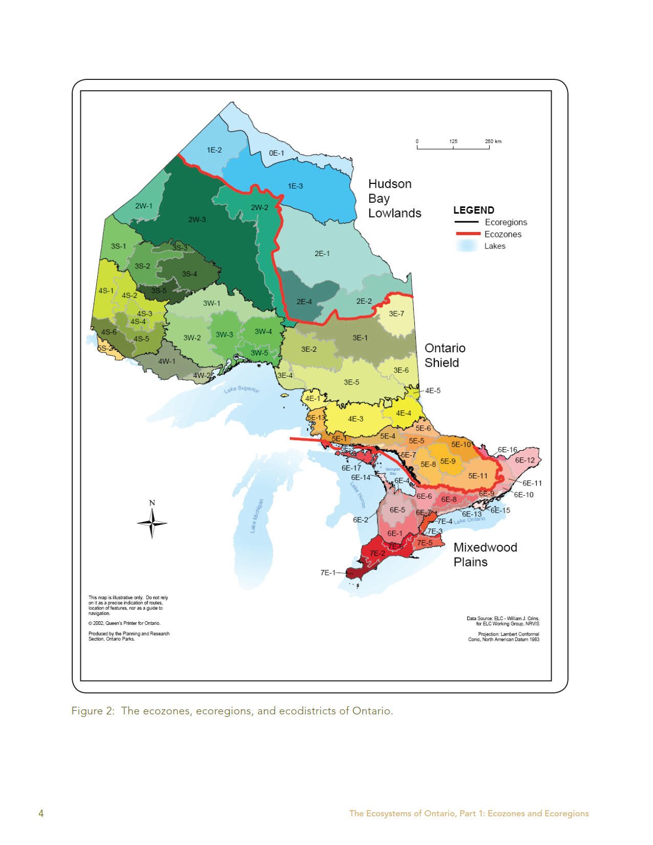
In the presented “maps”, I have tried to situate the places in their Indigenous territory and the Treaties that govern them, as well as in their ecological contexts. I have offered snapshots of local settler history and how Finns have fit into these histories. These historical narratives are by no means exhaustive or definitive. I have offered links and resources for further reading for those who would like to continue learning about these histories.
I have paired historical, archival photographs with recent fieldwork photographs from the same locations. I have also added soundscape recordings and short videos that can be played alongside the texts and images. I encourage map visitors to reflect on how the combination of materials and of histories and presents make them feel.
The “map” of each place is unique and offers different types of information. They reflect the sources and field work materials gathered from that location and the specific context and histories of the place.
These maps are all on-going works-in-progress. This project, as a whole, is intended to be exploratory and it is driven by a curiosity to try new ways of doing and presenting research. Information and materials are added to the maps regularly at this point. As the project develops, I will also add further self-reflexive writings on the process of doing this work.
Maps of the places marked below are currently under construction.
The places marked in red are open for exploring. Currently open: Toronto
Please Note: The maps display best on a laptop, desktop or tablet.
“A map is a silhouette, a contour that groups disparate elements, whatever they are. To map is to include as much as to exclude. To map is also a way to make visible what is usually unseen.”
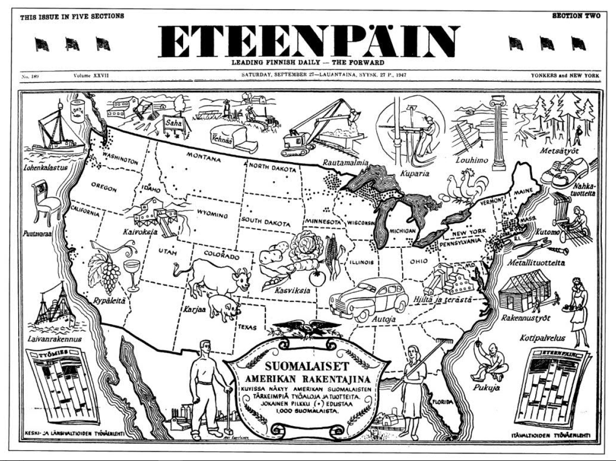
Examples of the many kinds of stories we can construct and tell with a simple map:


